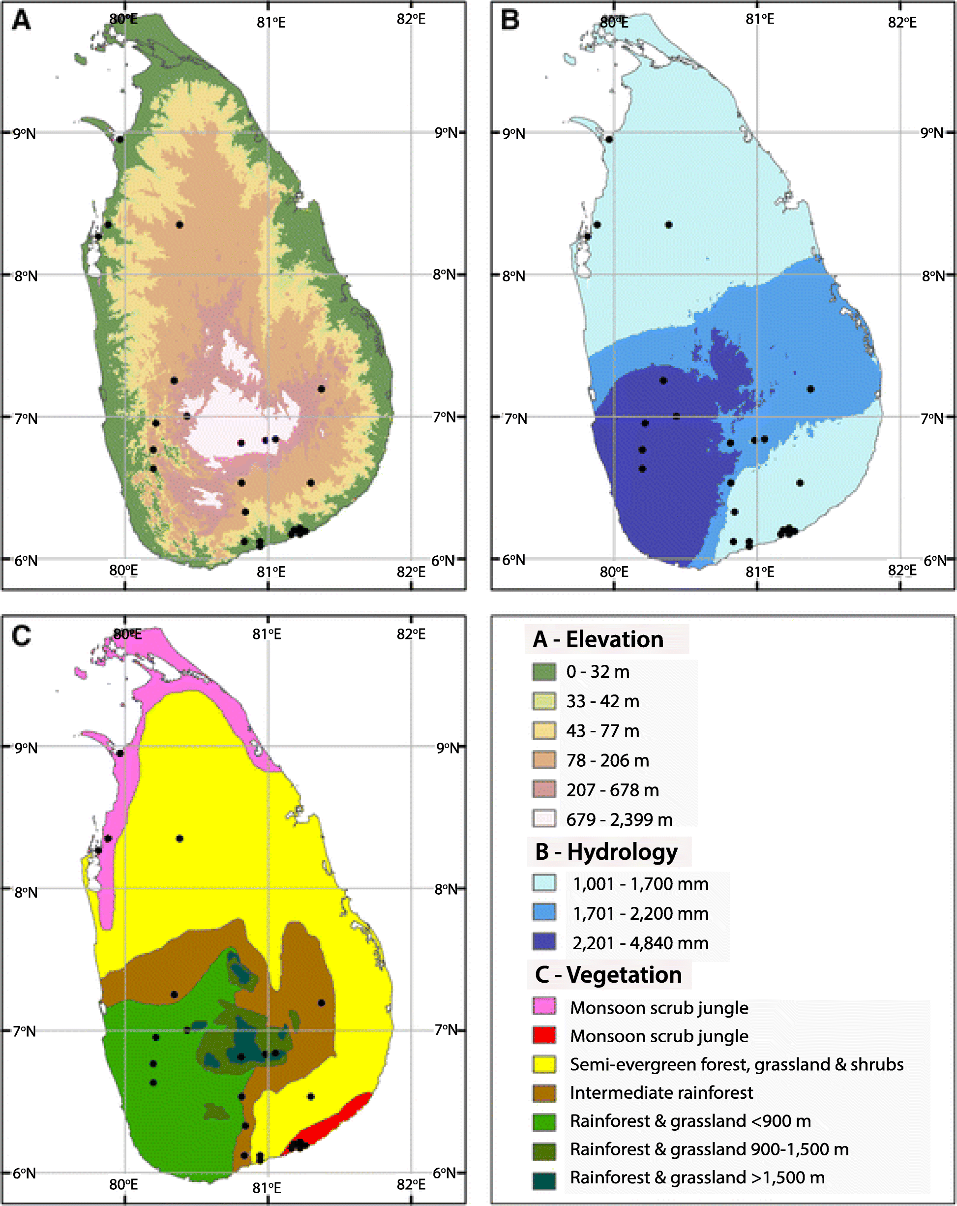
Fig. 1

Maps of Sri Lanka showing a Elevation map based on Digital Elevation Model, b Precipitation map showing Wet Zone, Intermediate Zone, and Dry Zone, and c Vegetation map ([1], with permission). Black circles in the maps indicate archeological and paleo-environmental sites of the island covered in the studies of reference [1]. Sri Lanka, formerly known as Ceylon is an island in the Indian Ocean, South-east of Indian subcontinent. Island terrain is primarily low, flat to rolling plain with mountains in the South-central interior. Island’s climate is tropical monsoon. The mountains and the South-western part of the country (wet zone) receive annual average rainfall of 2500 mm and the South-east, East and Northern parts of the country (dry zone) receive between 1200 and 1900 mm of rain annually. The arid North-west and South-east coasts receive the least amount of rain, 600 to 1200 mm per year. There is strong evidence of prehistoric settlements in Sri Lanka that goes back to ~ 125,000 BP